What we believe about surveying and technology
Surveying is a decision-making discipline.
I've come to see it as closer to forensic analysis than to, say, architecture: the surveyor works from incomplete records, weighs conflicting evidence, and gives opinions that carry real legal consequences. That's why the stamp means something - the decisions carry responsibility, and the responsibility is the job.
Software cannot and should never make those decisions.
What software can do is everything around the decision: keep every relevant document and its context one click away, take on the manual parts of the work - always with a clear audit trail - and get the retyping out of the way so more of the day goes to the judgment-heavy parts that actually need a professional.
Now, some honesty: we are not surveyors. I've shadowed surveyors in the office and in the field, but I come from the tech world and so does most of the team. We're upfront about this, and it shapes how we work: we build nothing without watching a surveyor do it first. TerrainPlot is shaped by the firms who use it daily - from county engineer's offices to multi-office engineering firms - and their corrections outrank our opinions.
That stance is why we've built the platform around three core principles:
- 1
Everything is linked to its source. Every call comes from a document, or a field visit, or a measurement. That source data should never be more than one or two clicks away.
- 2
Full transparency. Every piece of text we extract from a PDF comes with a confidence score, so you as a surveyor know exactly how much to trust outputs.
- 3
Surveyor in control. Everything can always be adjusted, modified, and moved as needed. The goal is always to fit the program to your work, not make you work to fit the software.
Essential professions like surveying deserve software built with the same seriousness the work itself demands. That's what we're here to build.
Our Team
Toolmakers in your corner.
Big tech has enough good software. We're building yours.
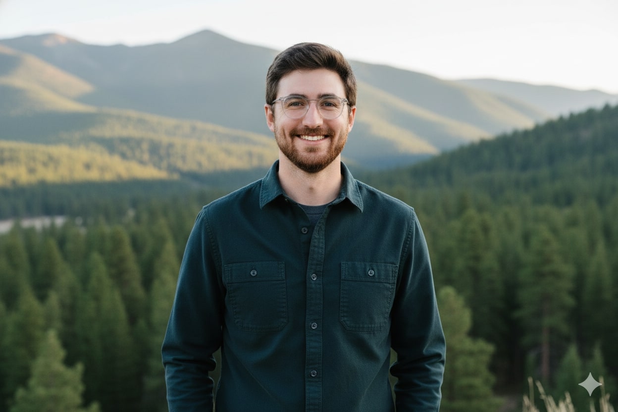
Vance Grissom
CEO
Vance spent years building and backing software companies before picking the industry he wanted to spend the next decade on. He wrote the essay above after months shadowing surveyors in the field and the office - and TerrainPlot is run by it.

Brandon Hills
Head of Product Engineering
Brandon is a software engineer who's built systems at Google and tools for the justice system. He brings that experience to TerrainPlot, creating software that's both powerful and practical for surveyors in the field.
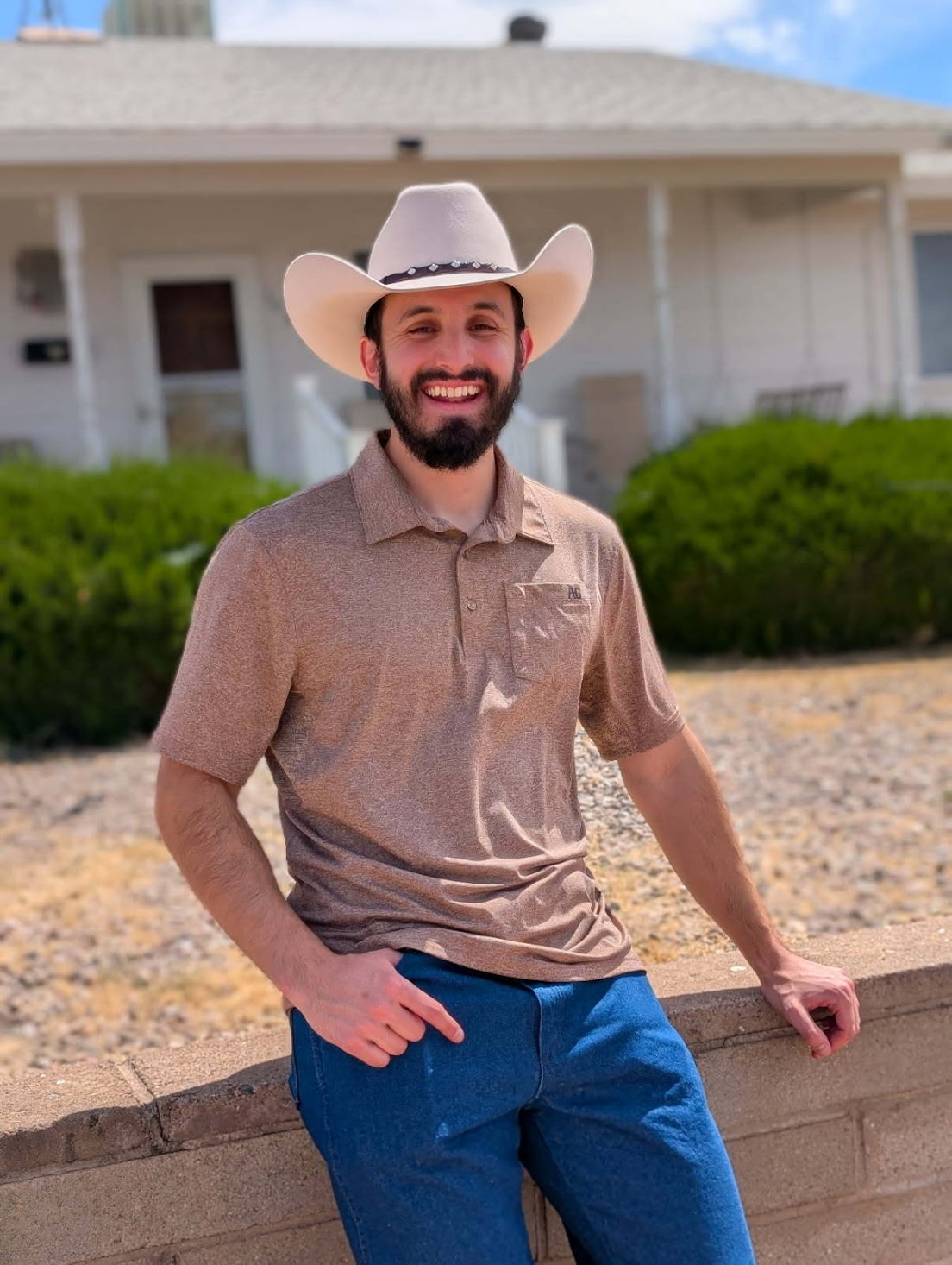
Antonio Ferris
Head of R&D
A software engineer with a background at Intel and a love for math, Antonio leads our research and development. He leads R&D on the geometry engine - the part that has to be right every time.

Elena Kuykendall
Growth & Partnerships Lead
Elena's passion for local government led her to Zen City, where she built software for cities and municipalities. She brings that same dedication to TerrainPlot, connecting with surveyors and understanding the real-world needs of the industry.